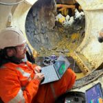
News Article
Historic Lead Mine Adit and New Drainage Tunnel 3D Laser Scan Survey » Lead Mine Adit Laser Scan Survey
WP_Post Object
(
[ID] => 1545
[post_author] => 2
[post_date] => 2025-10-09 16:14:03
[post_date_gmt] => 2025-10-09 15:14:03
[post_content] =>
[post_title] => Lead Mine Adit Laser Scan Survey
[post_excerpt] => A combined 3D point cloud model of the old drainage adit and surface features above.
[post_status] => inherit
[comment_status] => closed
[ping_status] => closed
[post_password] =>
[post_name] => g24135-geoterra-adit-9-cwm-rheidol-combined-laser-scan-survey-screenshot-1
[to_ping] =>
[pinged] =>
[post_modified] => 2025-10-09 16:51:03
[post_modified_gmt] => 2025-10-09 15:51:03
[post_content_filtered] =>
[post_parent] => 1541
[guid] => https://www.geoterra.co.uk/wp-content/uploads/2025/10/G24135-Geoterra-Adit-9-Cwm-Rheidol-Combined-Laser-Scan-Survey-Screenshot-1.png
[menu_order] => 0
[post_type] => attachment
[post_mime_type] => image/png
[comment_count] => 0
[filter] => raw
)
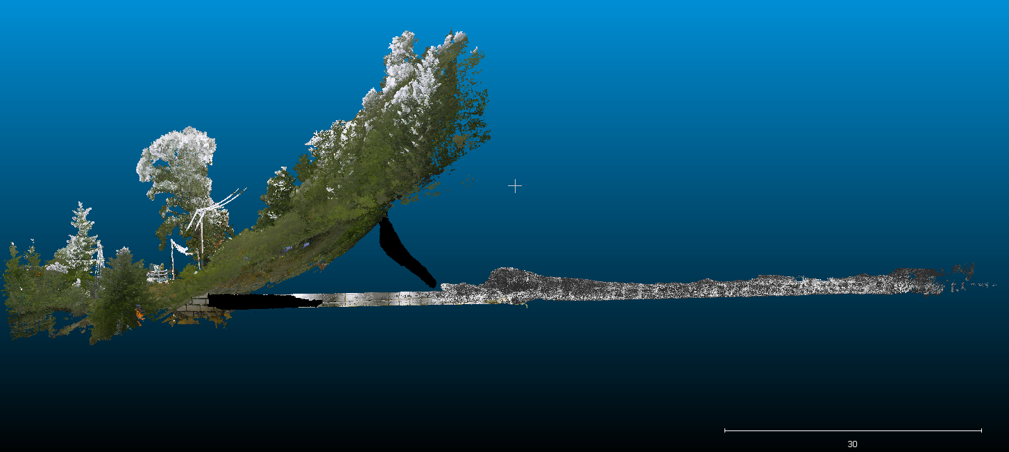
A combined 3D point cloud model of the old drainage adit and surface features above.


