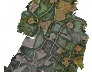
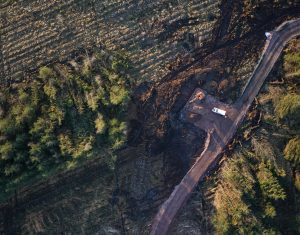
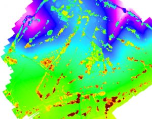
Using fixed-wing and multi-rotor technology equipped with a multitude of sensors, Geoterra carries out UAV drone surveys for the mapping of land, property and infrastructure.
We only employ the services of UAV pilots who are professionally trained, experienced surveyors and CAA/IAA licensed to operate in the UK and Ireland. We also operate overseas.
Applications for UAV drone surveys include:
- Land Surveys
- Quarries
- Open cast mines
- Highways
- Railways
- Waterways
- Urban Planning
- Civil Structures
- Onshore & offshore windfarms
- Contaminated & flooded land monitoring
- Urban planning
- Building inspections