Harburnhead Windfarm
West Lothian, Scotland
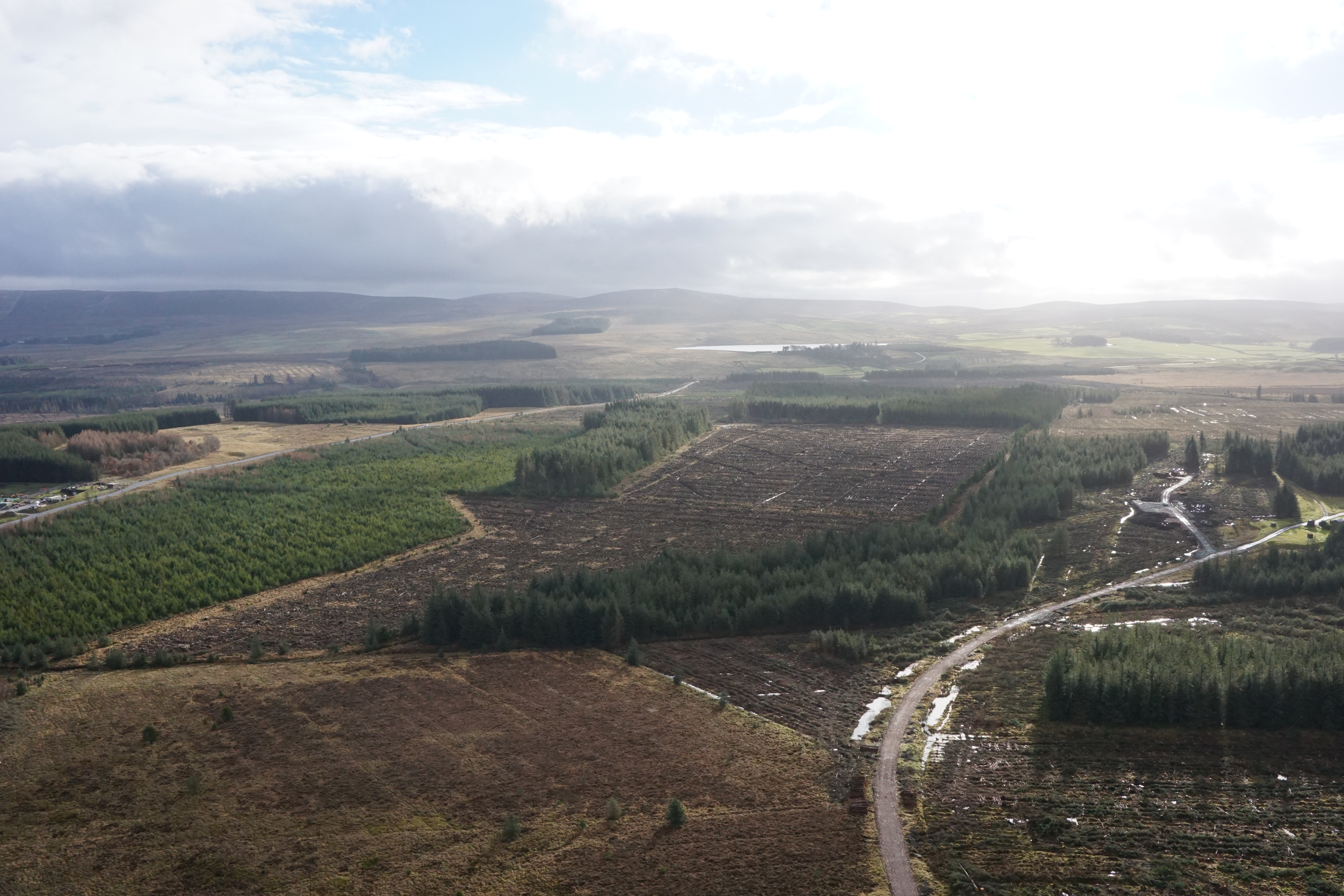
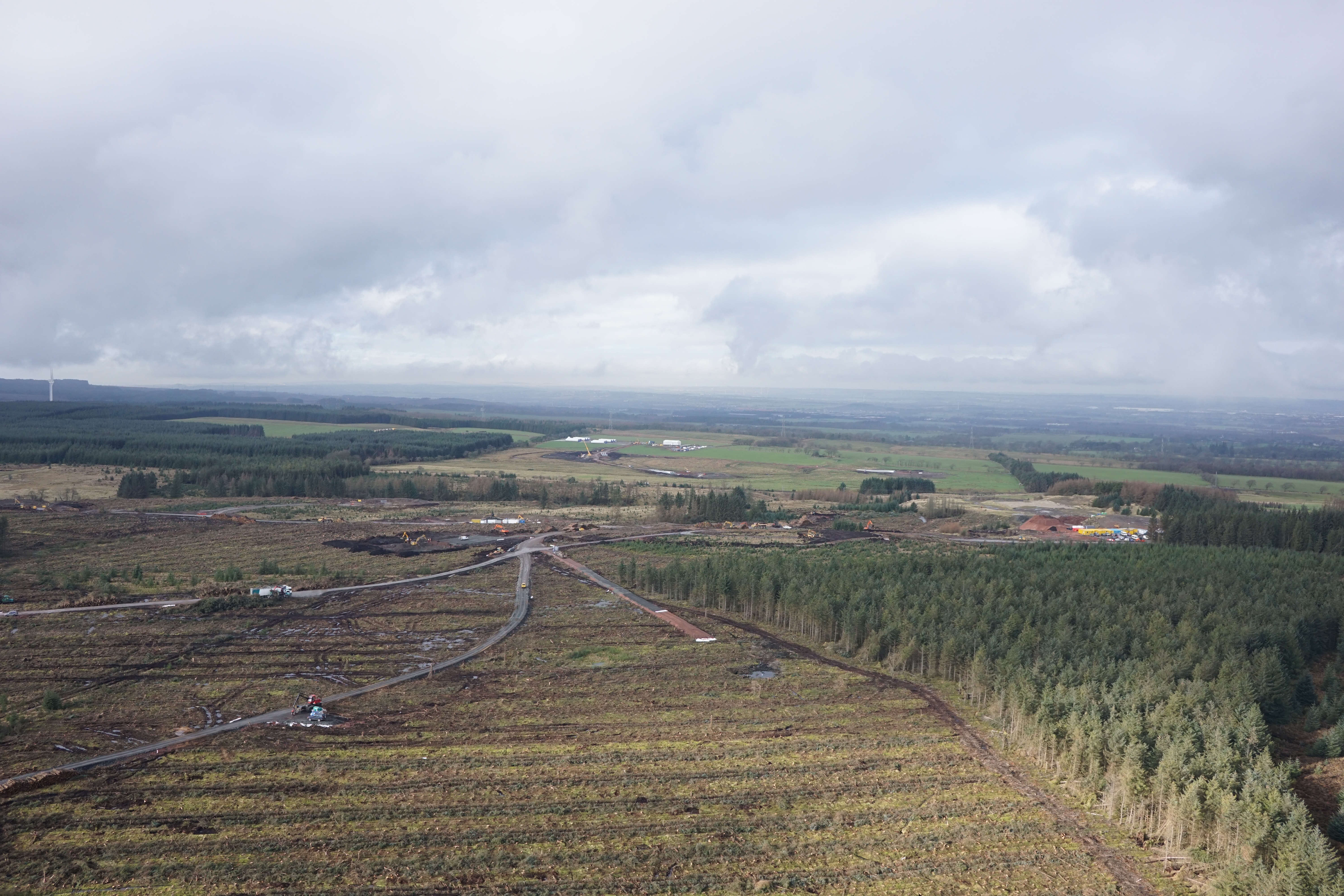
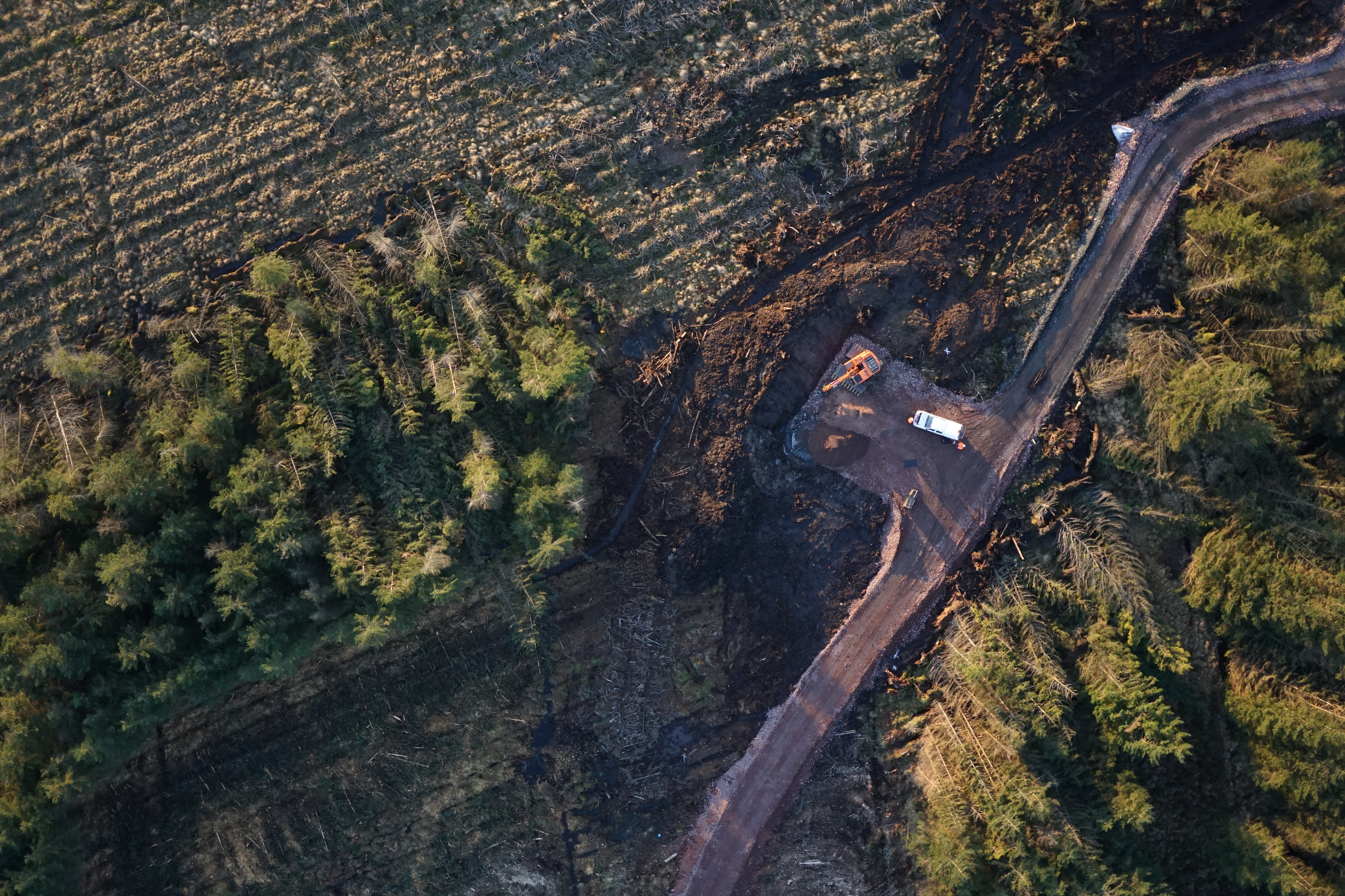
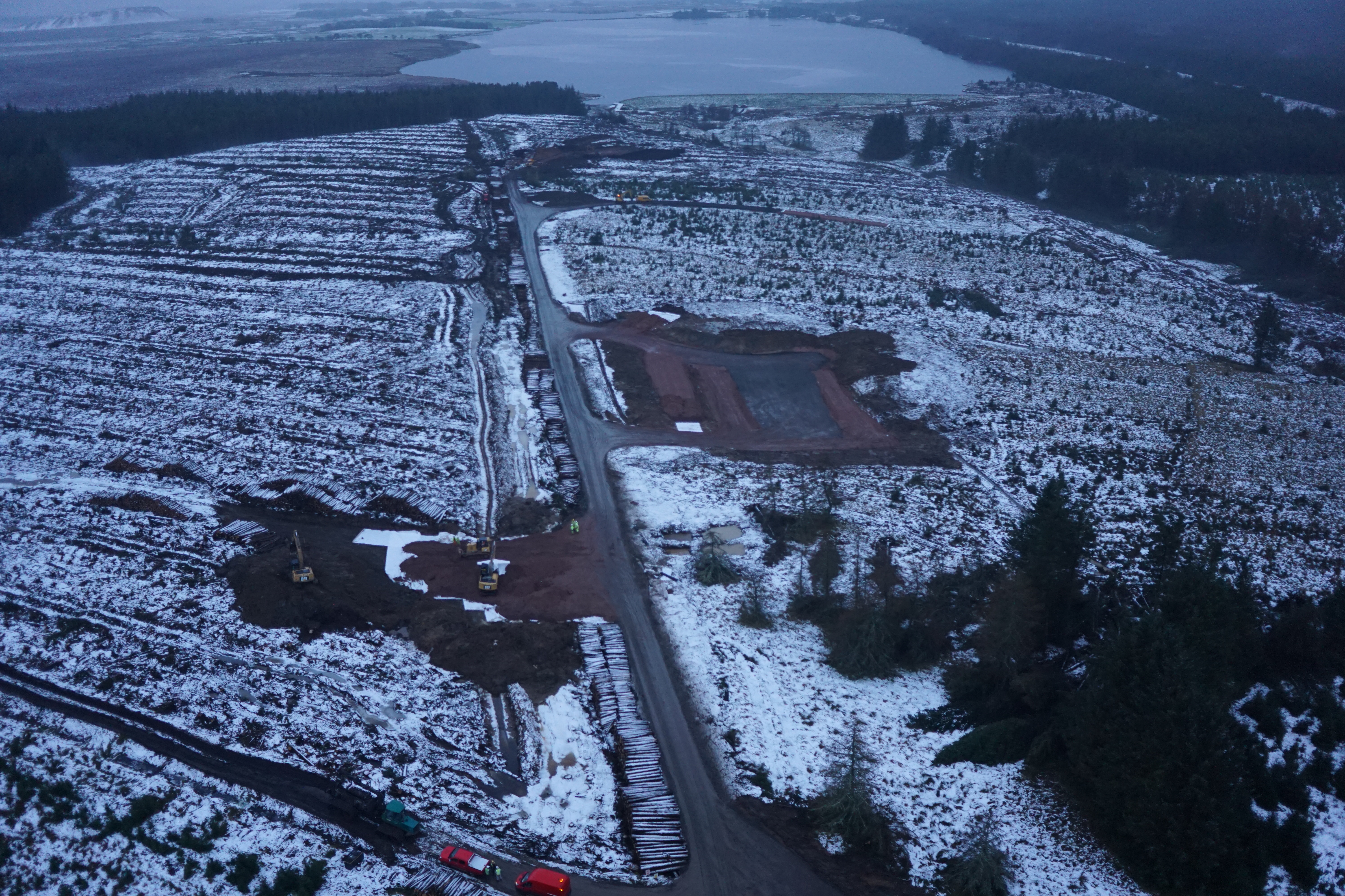
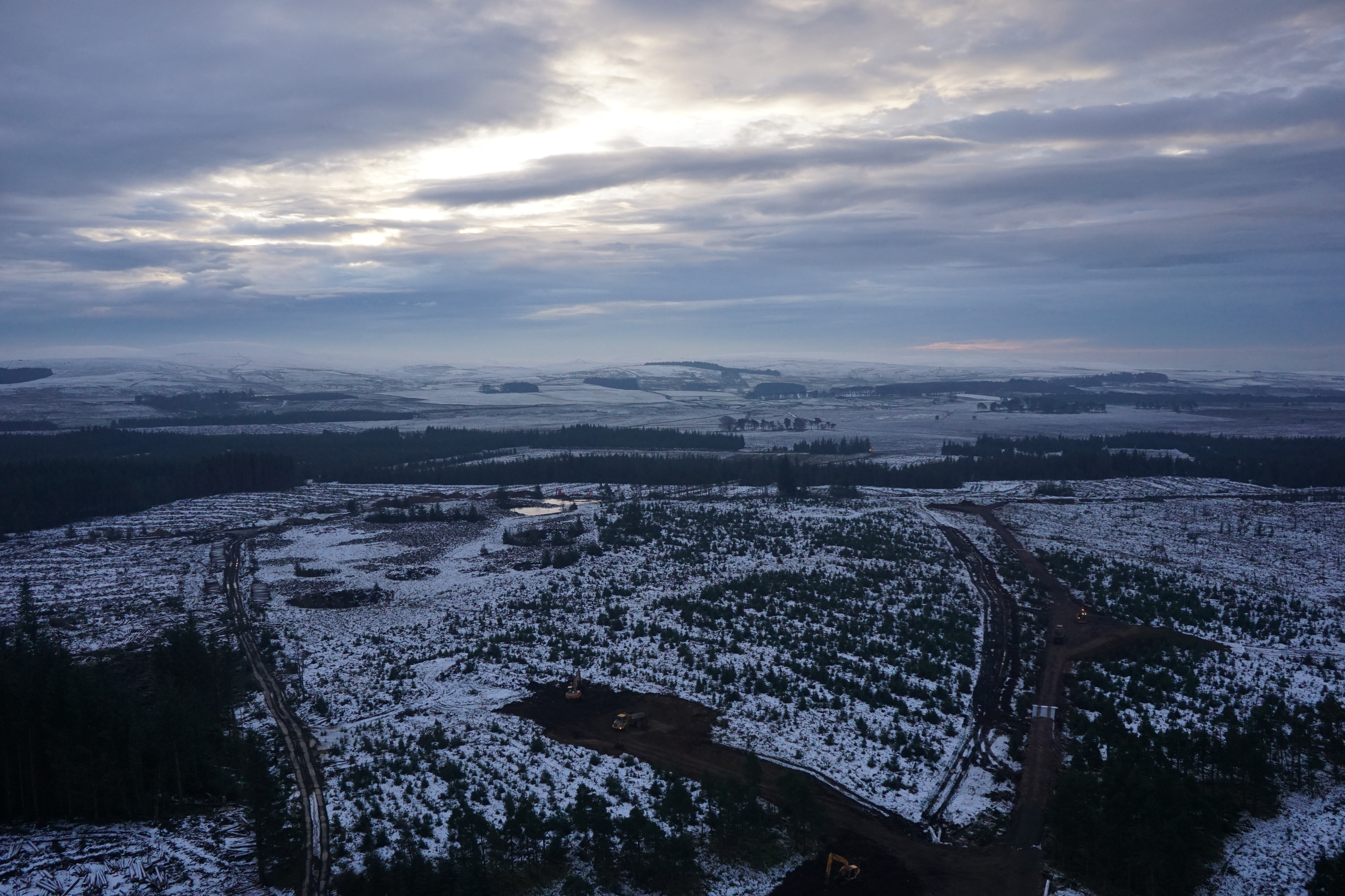
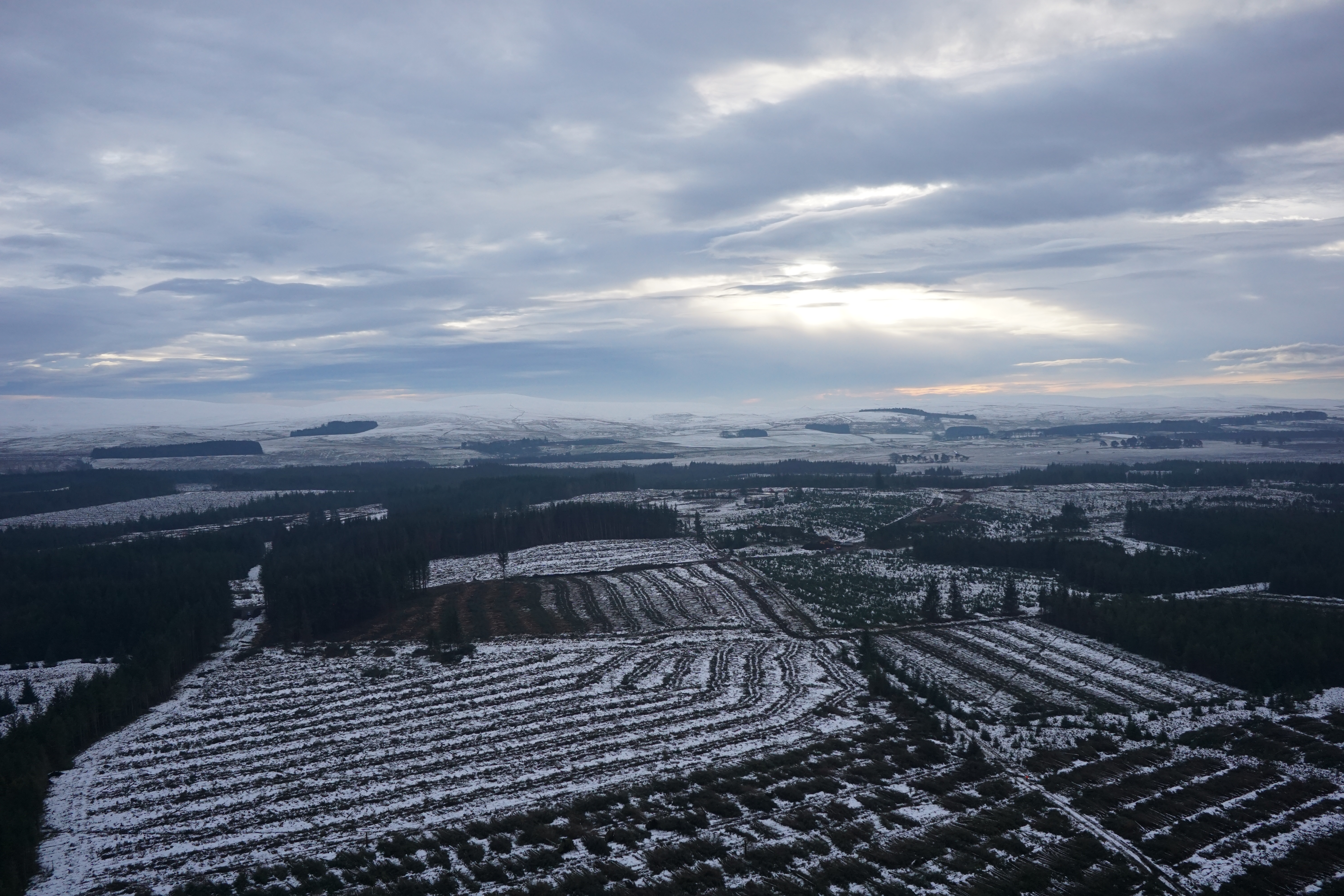
A UAV aerial mapping survey of Harburnhead windfarm.
The Brief
Geoterra was appointed by consultant engineers Tony Gee, on behalf of civil engineering contractors Farrans, to carry out a full UAV aerial mapping survey of Harburnhead windfarm. This survey data was required in preparation for the development of a new windfarm site. The total area to be flown was in excess of 7km2.
The Solution
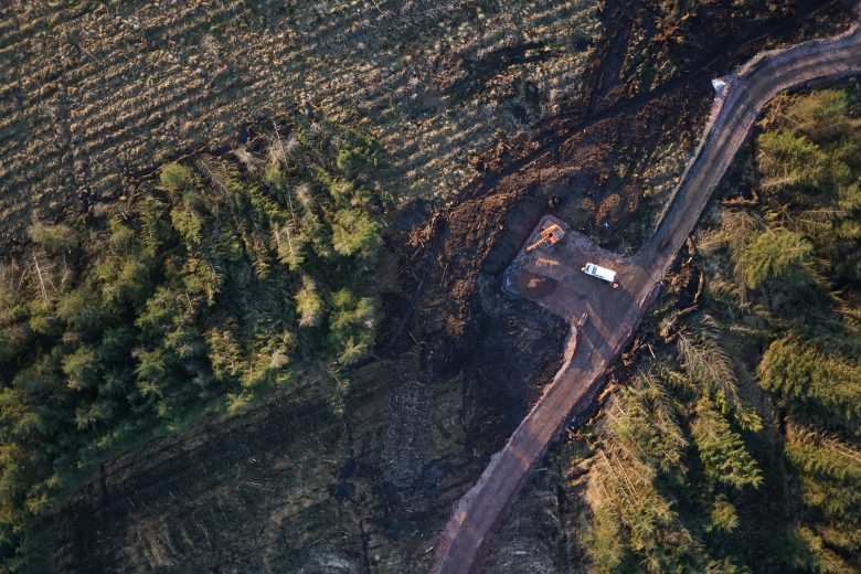
Geoterra in partnership with Skycap carried out a UAV aerial survey of the windfarm using the Falcon 8 equipped with a high definition DSLR camera. Ground control points were set up across the site and surveyed to OS National Grid.
The Deliverables
We provided our clients with a range of deliverables including a Digital Surface Model, Digital Elevation Model, Ortho-rectified mosaic photography and a 3D point cloud.
This was a particularly challenging project due to the remote location of the site, the large scale, very poor ground conditions and rapidly changing weather conditions. In excess of 8,000 high definition photographs were taken to cover the full 7km2 to produce top quality processed deliverables for our client.