Mobile mapping is the process of capturing geospatial data from a mobile platform.
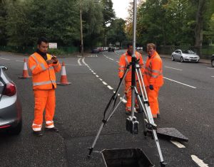
We have experience in carrying out mobile mapping surveys to collect point cloud data, 360° photography, high definition video and thermal imagery for route corridors.
Applications for mobile mapping include:
- Roads and Highways
- Railway Systems
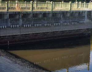
- Flood Plain Analysis
- Open-Cast Mines Volumetric Surveys
- Coastal Cliff Features
- Accident Reconstruction
- Urban Mapping
- Overhead Power Line Surveys