Network Rail Bridge
Rugby, Warwickshire
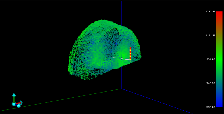
A subsurface laser scan as-built survey of voids discovered within a Network Rail bridge in Rugby for Storm Geomatics & Arcadis Consulting Engineers.
The Brief
Storm Geomatics and Arcadis Consulting Engineers appointed Geoterra to carry out a 3D subsurface laser scan as-built survey of voids discovered within a Network Rail bridge in Rugby, Warwickshire.
The survey data was required by Arcadis Consulting Engineers to enable them to assess the size and location of the voids within the bridge structure.
A HD CCTV survey of the voids was also required.
The Solution
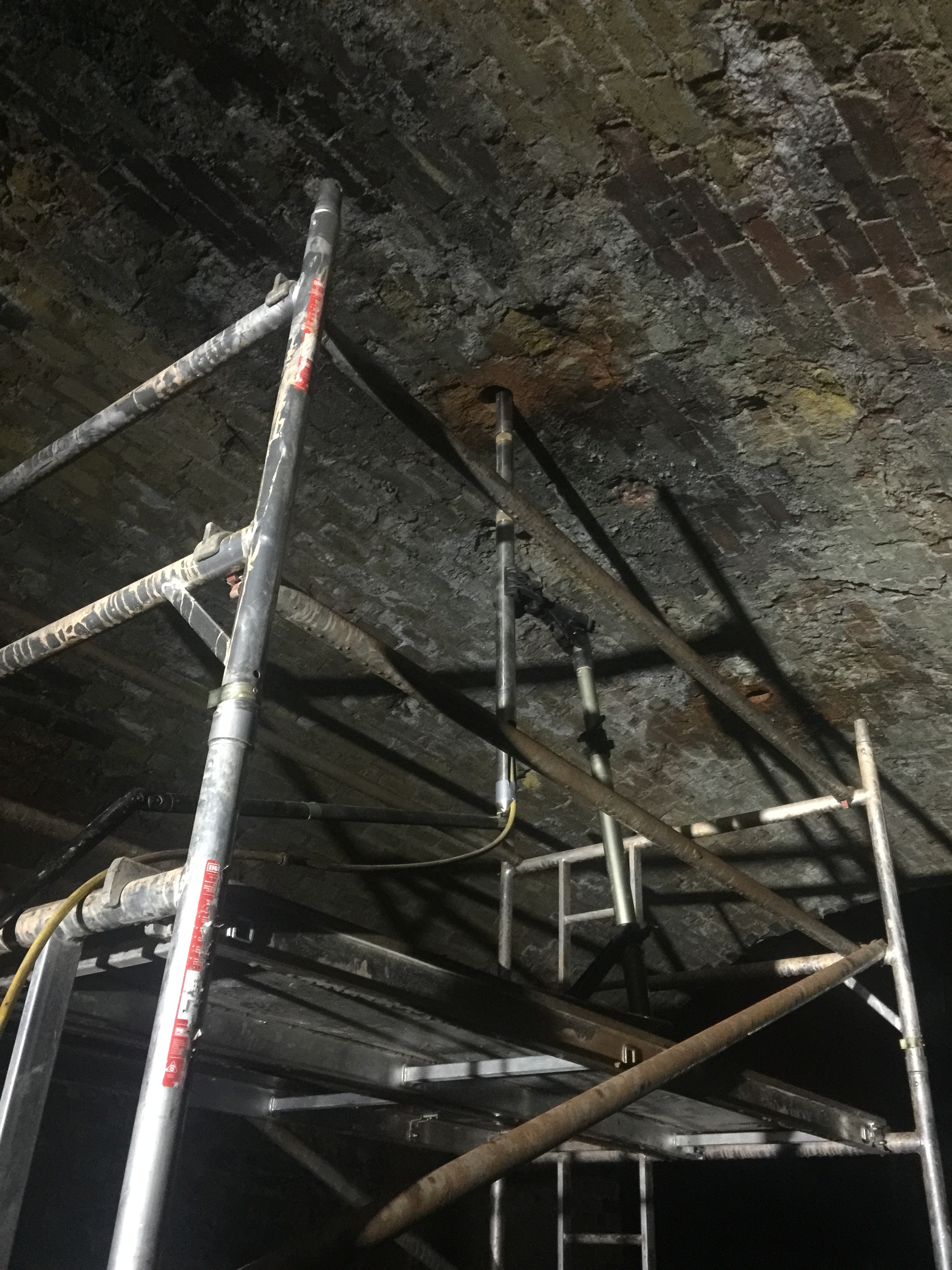
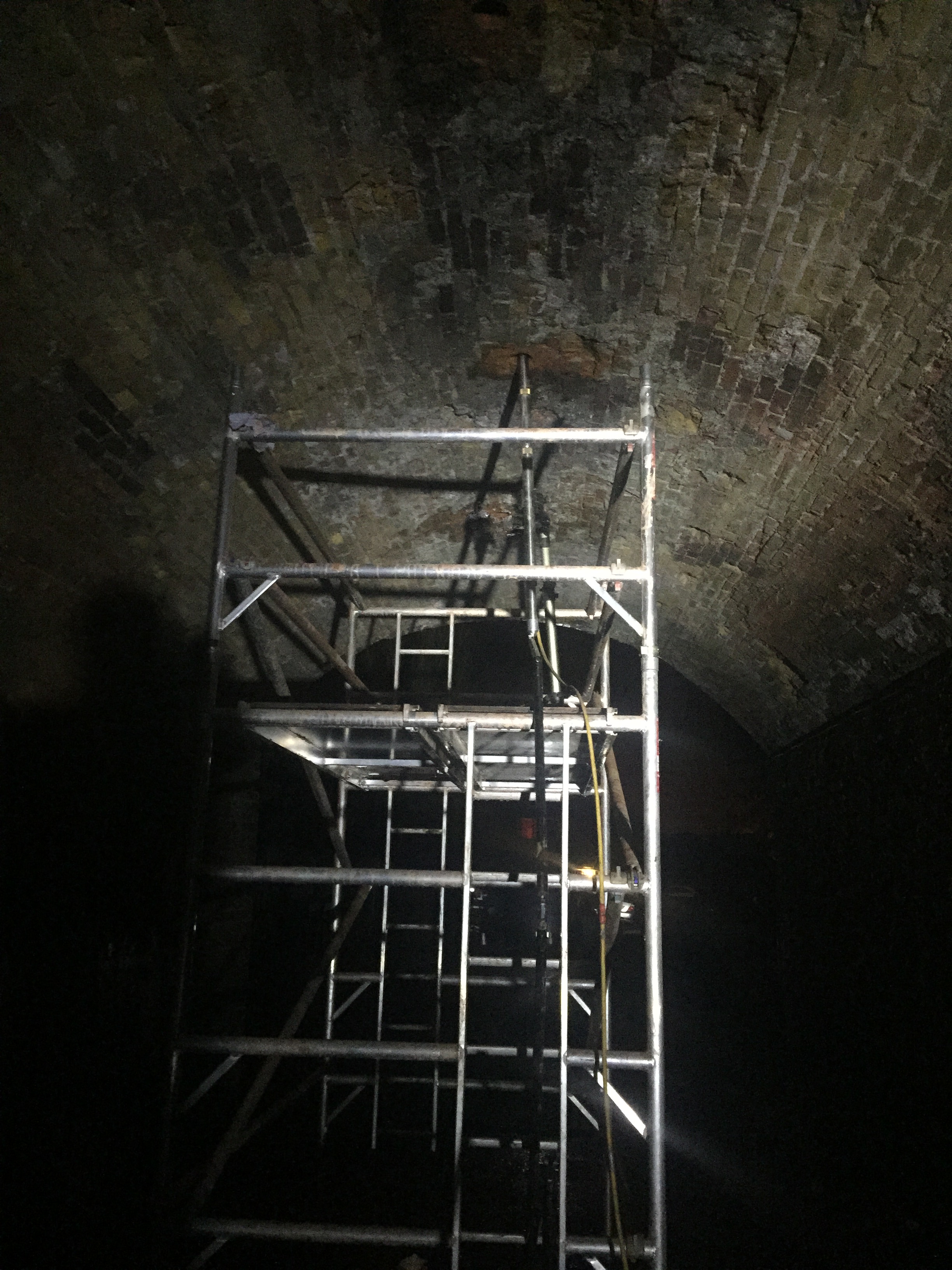
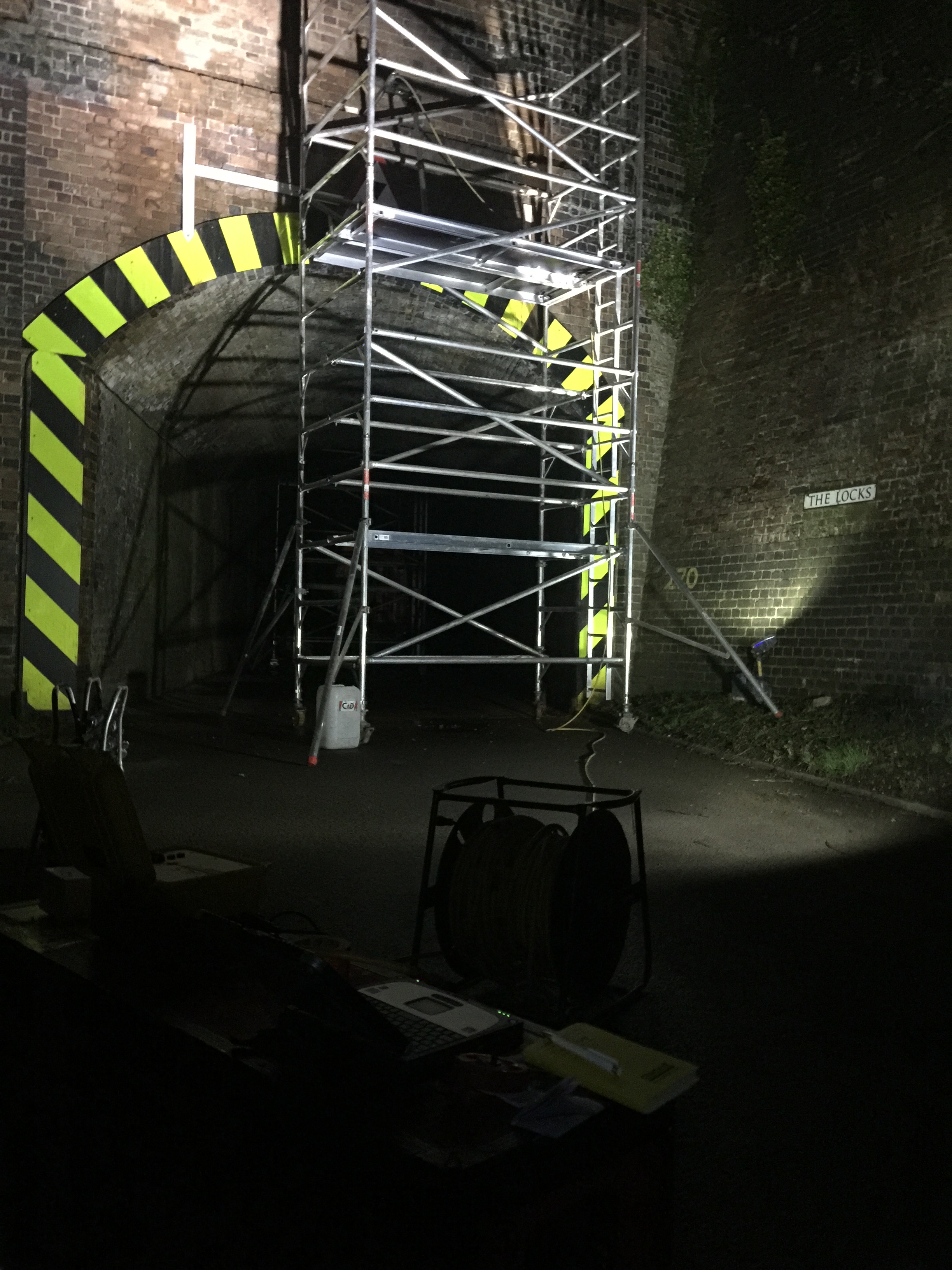
Access to the external voids was difficult due to the location of an existing archway above. Tower scaffolding was provided and holes were drilled through the external brickwork into the outer voids at both ends of the archway.
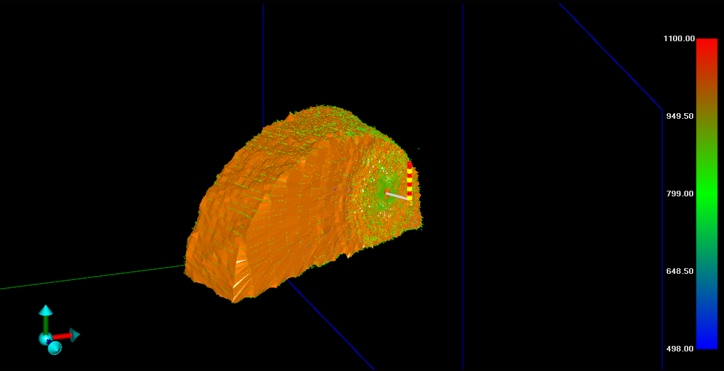
Geoterra’s experienced geospatial engineers utilised a specialist C-ALS laser scanner to carry out a 3D laser scan survey of the two external voids. The surveys were geo-referenced to OSGB 36 and Newlyn GPS level datum. Additional voids could then be surveyed between the two external voids via vertical borehole access. A HD CCTV survey of the voids was also carried out.
The Deliverables
Geoterra provided Storm Geomatics and Arcadis Consulting Engineers with a geo-referenced 3D laser scan point cloud of five voids above the rail arch and beneath the main Network Rail line, together with CCTV video footage and an updated topographical survey plan.