News Article
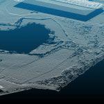
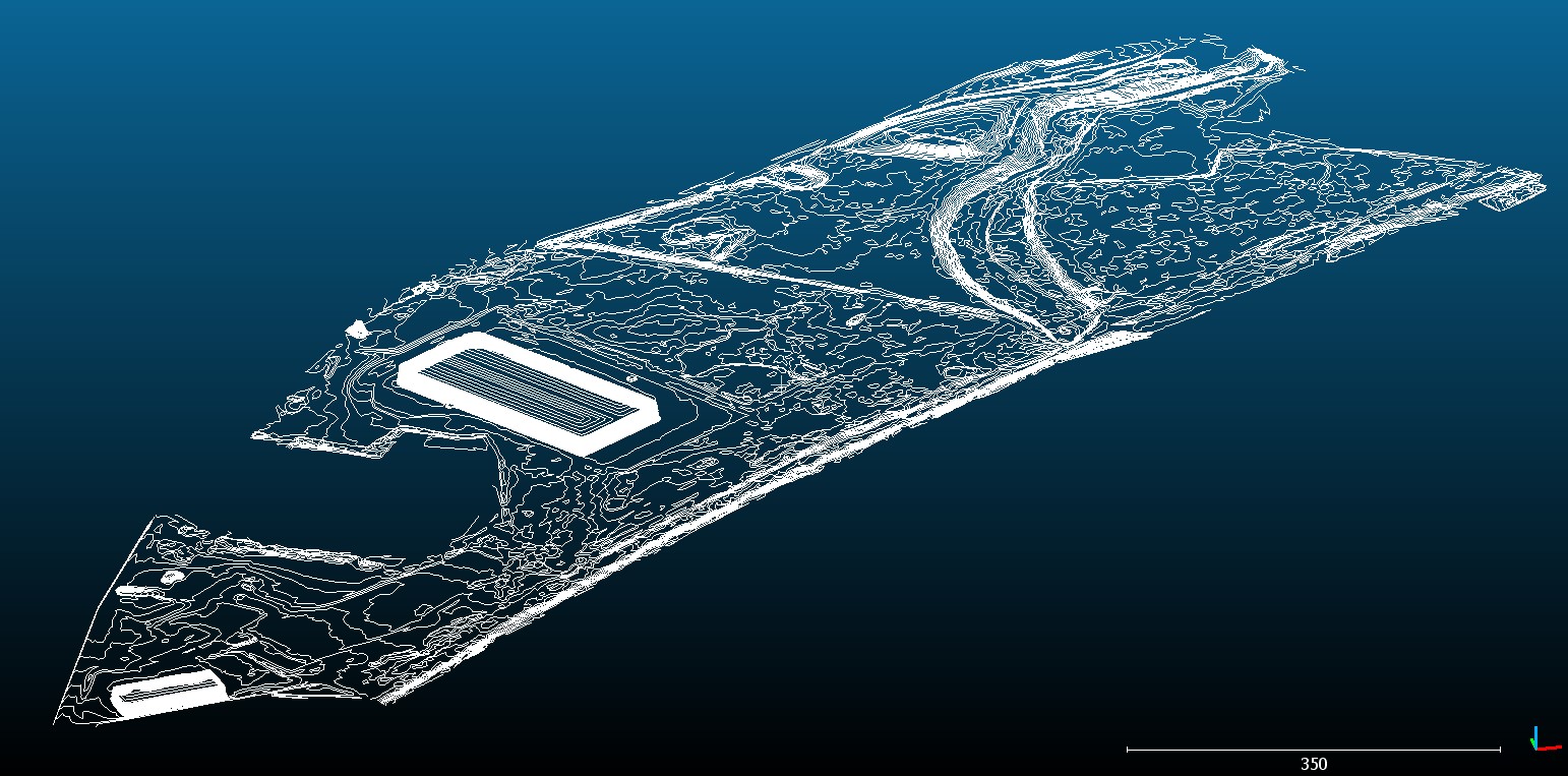
Industrial Land UAV LiDAR and Photogrammetry Survey » G19135 – Geoterra – Port Salford UAV LiDAR Survey – Contour screenshot #1
WP_Post Object
(
[ID] => 1004
[post_author] => 2
[post_date] => 2020-05-02 12:56:07
[post_date_gmt] => 2020-05-02 11:56:07
[post_content] =>
[post_title] => G19135 - Geoterra - Port Salford UAV LiDAR Survey - Contour screenshot #1
[post_excerpt] =>
[post_status] => inherit
[comment_status] => closed
[ping_status] => closed
[post_password] =>
[post_name] => g19135-geoterra-port-salford-uav-lidar-survey-contour-screenshot-1
[to_ping] =>
[pinged] =>
[post_modified] => 2020-05-02 12:56:07
[post_modified_gmt] => 2020-05-02 11:56:07
[post_content_filtered] =>
[post_parent] => 1002
[guid] => https://www.geoterra.co.uk/wp-content/uploads/2020/05/G19135-Geoterra-Port-Salford-UAV-LiDAR-Survey-Contour-screenshot-1.jpg
[menu_order] => 0
[post_type] => attachment
[post_mime_type] => image/jpeg
[comment_count] => 0
[filter] => raw
)