News Article
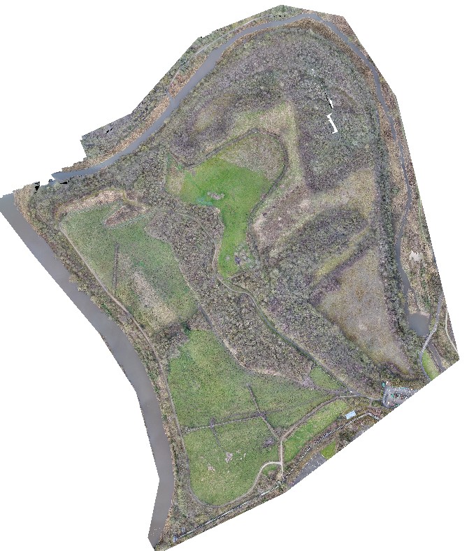
Aerial LiDAR and Photogrammetry Survey of Witton Landfill » Landfill UAV LiDAR Survey Northwich
WP_Post Object
(
[ID] => 1032
[post_author] => 2
[post_date] => 2020-05-03 07:22:05
[post_date_gmt] => 2020-05-03 06:22:05
[post_content] =>
[post_title] => Landfill UAV LiDAR Survey Northwich
[post_excerpt] =>
[post_status] => inherit
[comment_status] => closed
[ping_status] => closed
[post_password] =>
[post_name] => g20104-geoterra-witton-tip-uav-survey-screenshot-2
[to_ping] =>
[pinged] =>
[post_modified] => 2020-05-03 07:23:16
[post_modified_gmt] => 2020-05-03 06:23:16
[post_content_filtered] =>
[post_parent] => 1030
[guid] => https://www.geoterra.co.uk/wp-content/uploads/2020/05/G20104-Geoterra-Witton-Tip-UAV-Survey-Screenshot-2.jpg
[menu_order] => 0
[post_type] => attachment
[post_mime_type] => image/jpeg
[comment_count] => 0
[filter] => raw
)