3D Surface and Subsurface Survey of Islington Tunnel
Regent's Canal, Islington
Comprehensive 3D tunnel survey of Islington Tunnel using mobile laser scanning, sonar, and drone photogrammetry to assess structural condition above and below water.

The Brief
The Canal & River Trust appointed Geoterra to carry out a combined 3D mobile mapping laser scan and bathymetric multibeam sonar survey of the Islington Tunnel on Regent’s Canal.
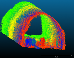
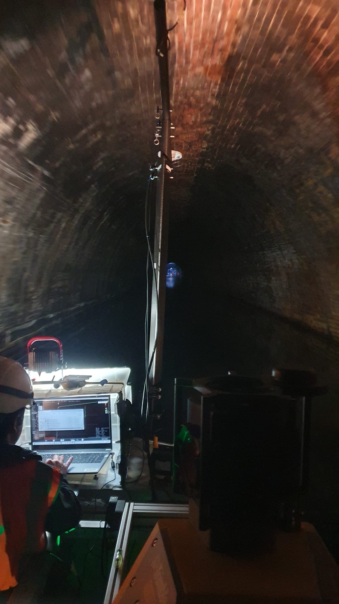
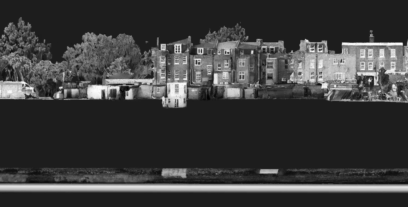
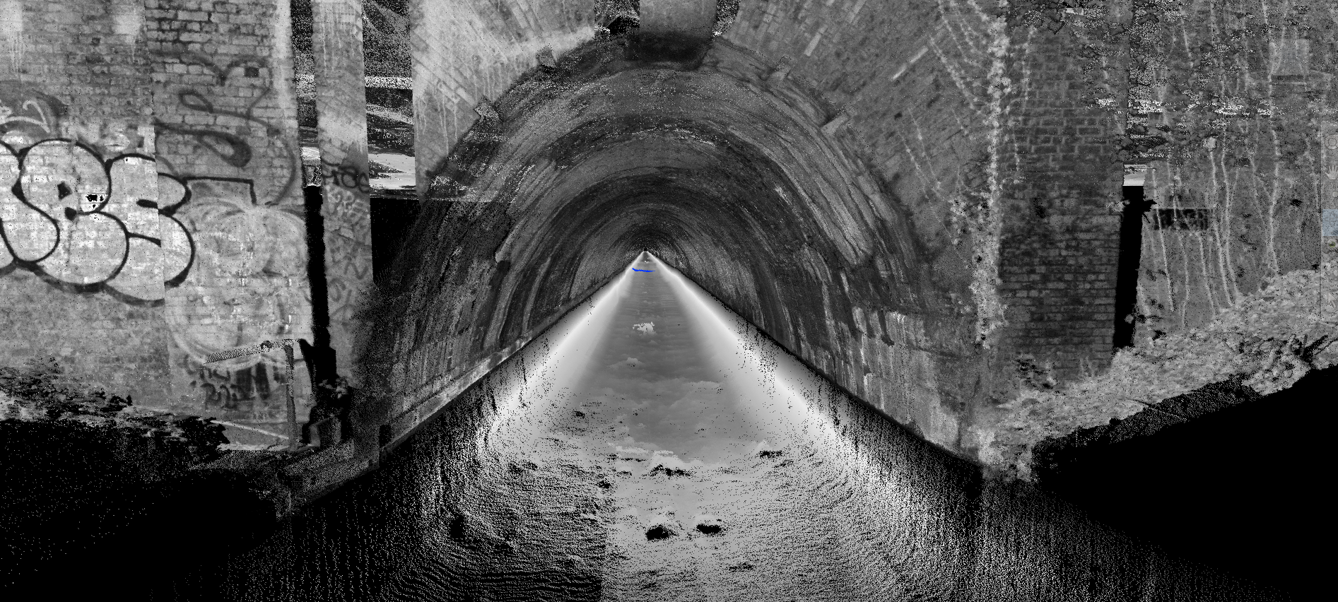
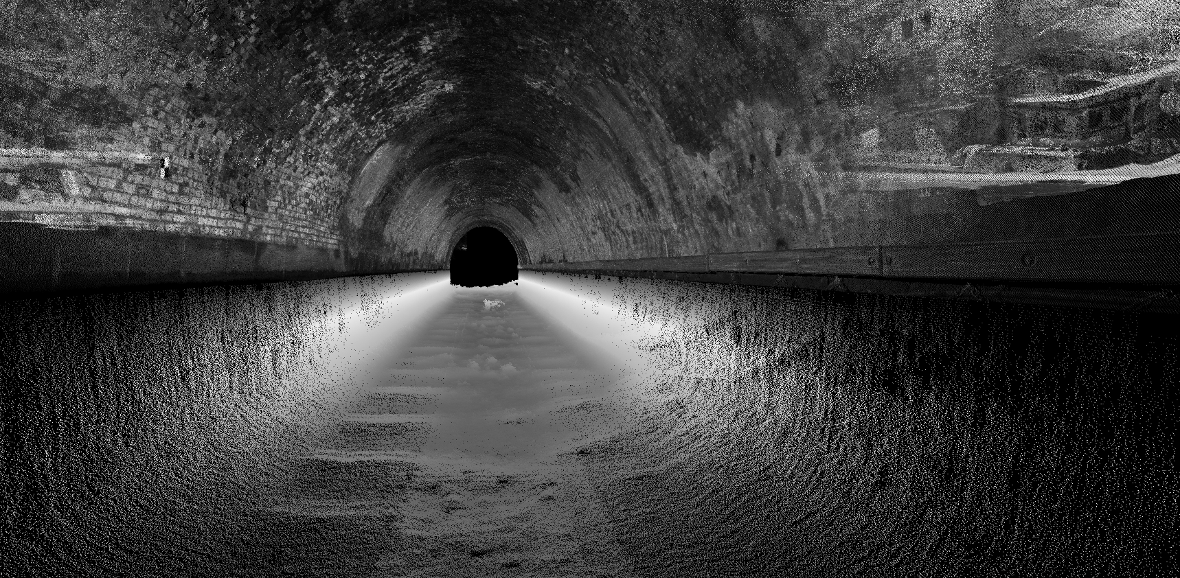
The tunnel runs beneath Islington, stretching 878 meters from Caledonian Road to Colebrooke Row. It is the longest canal tunnel in London and does not have a towpath, making it accessible only by boat. Originally constructed between 1814 and 1818 using brick, the tunnel has since been reinforced with a concrete lining. However, significant signs of movement and cracking have been identified at both the eastern and western portals, with the overall structure, above and below the waterline, considered to be in poor condition.
The client required detailed survey data to assess the tunnel’s structural condition, both above and below water. This would help validate issues identified during previous visual inspections and evaluate the feasibility of deploying a boat-mounted Trimble MX50 mobile mapping system within the tunnel.
The solution
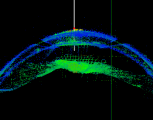
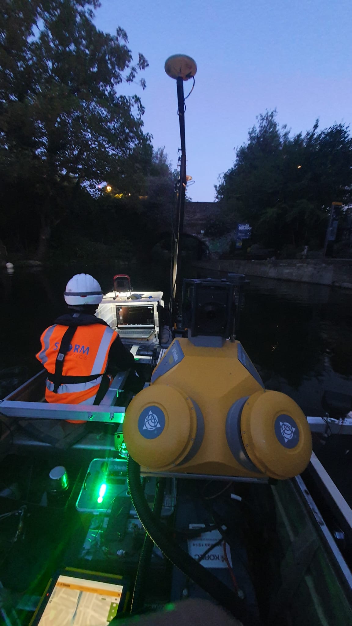
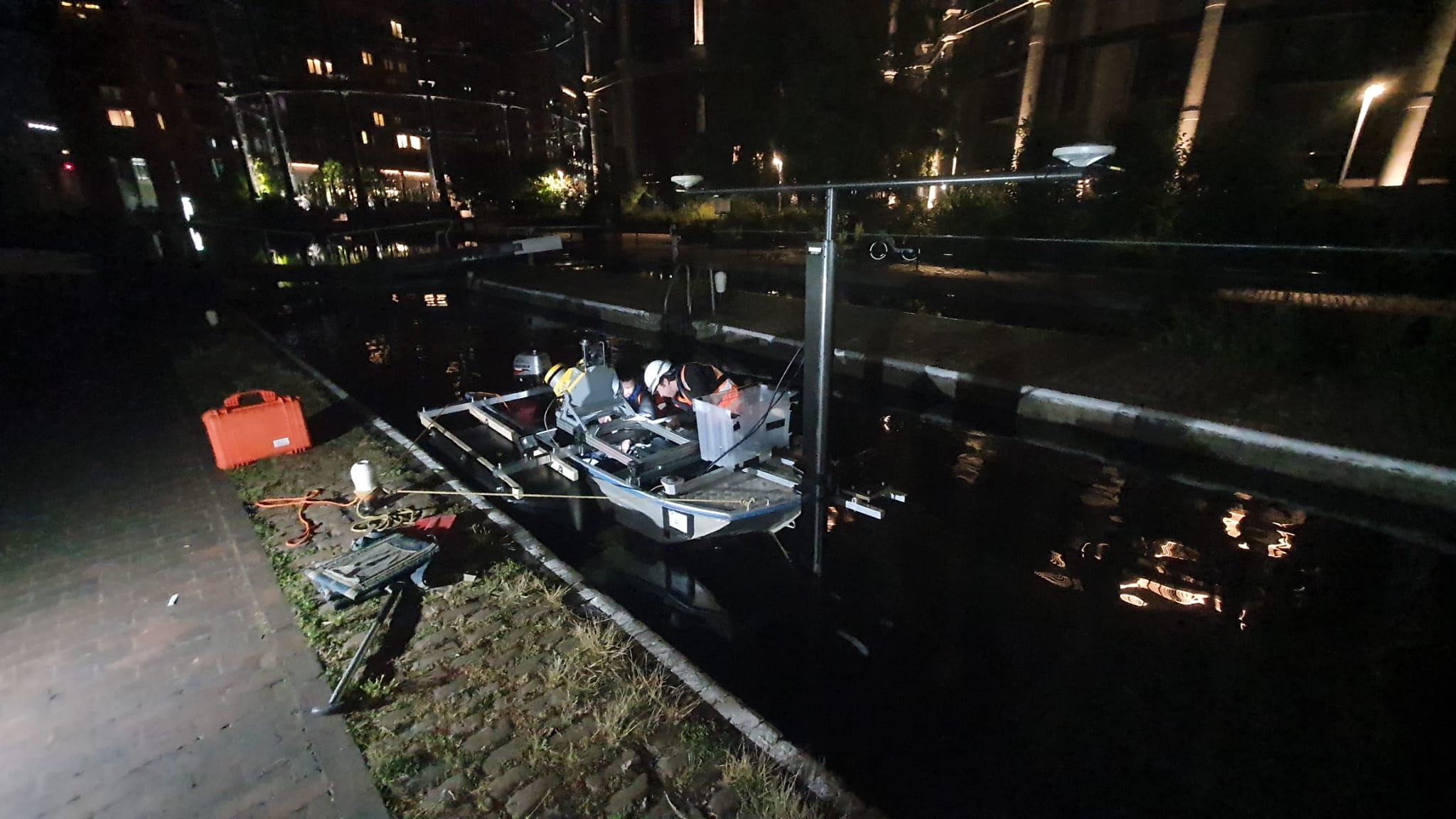
Geoterra’s geospatial engineers, working with our partners at Storm Geomatics, used a boat-mounted Trimble MX50 mobile mapping laser scanner and a Norbit iWBMS multibeam sonar to complete the bathymetric part of the survey. Survey lighting was set up in the tunnel and positioned at the right angles before to ensure the HD images were clear and of high quality. The survey boat made several passes through the tunnel at different speeds to ensure all features were captured.
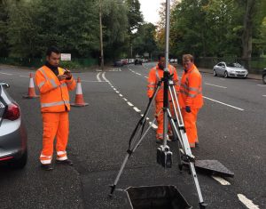
To link the 3D data together, control points were set up at both tunnel portals, and 19 survey targets were installed along the tunnel. A survey traverse was carried out using a Trimble SX10 total station to accurately geo-reference the data during processing.
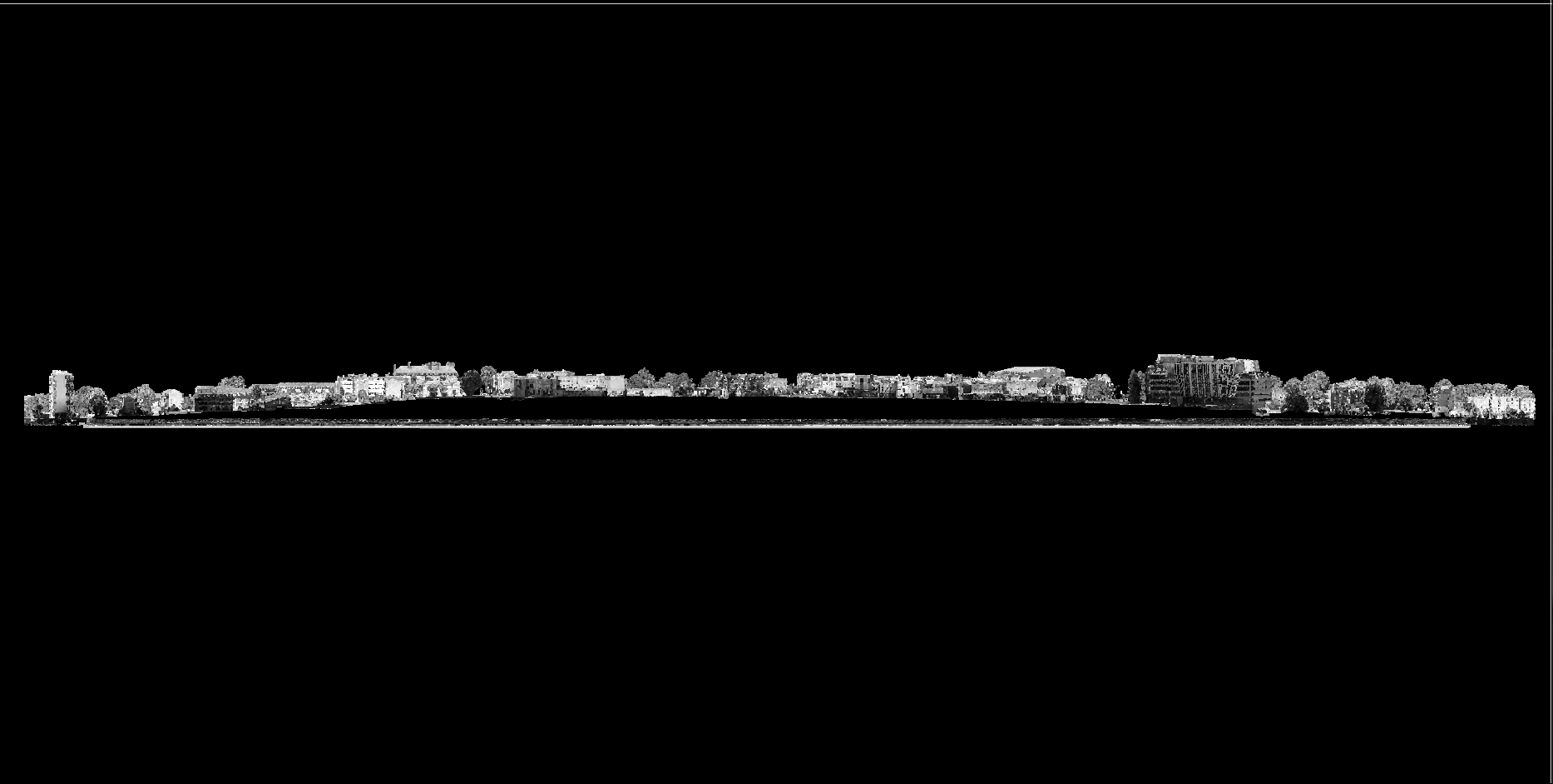
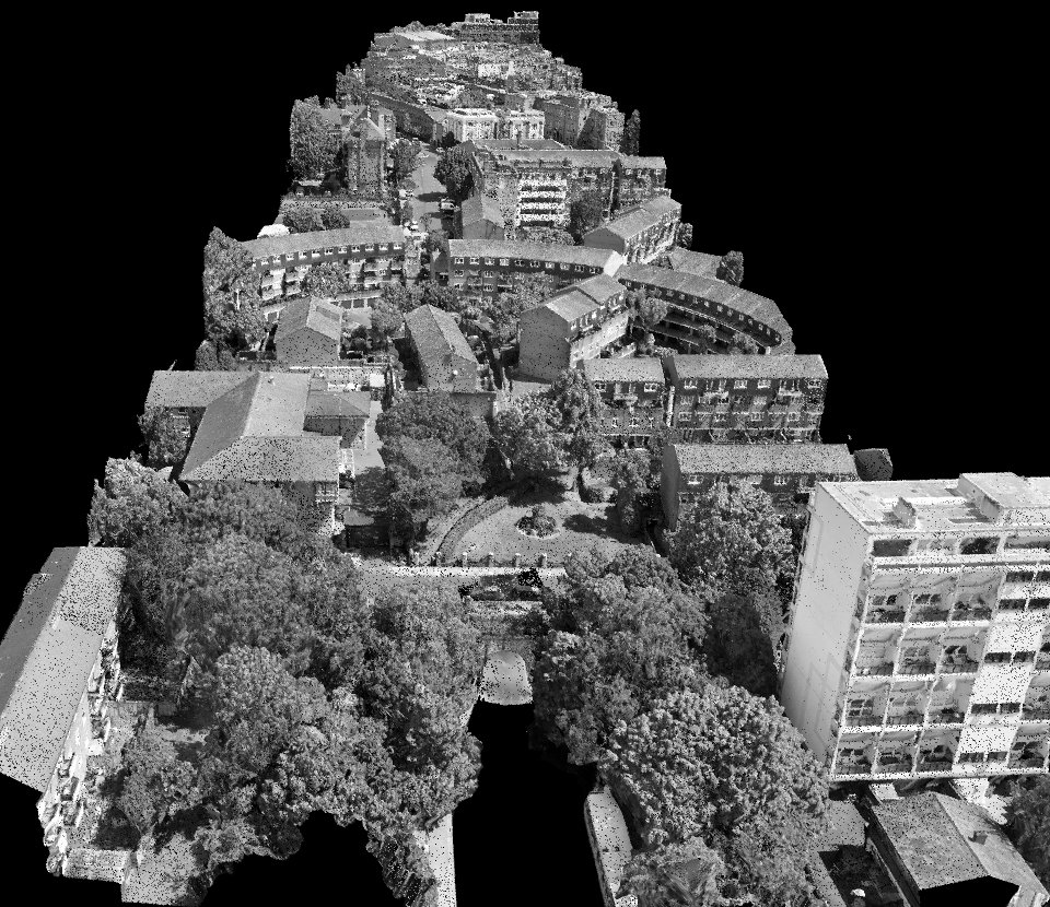
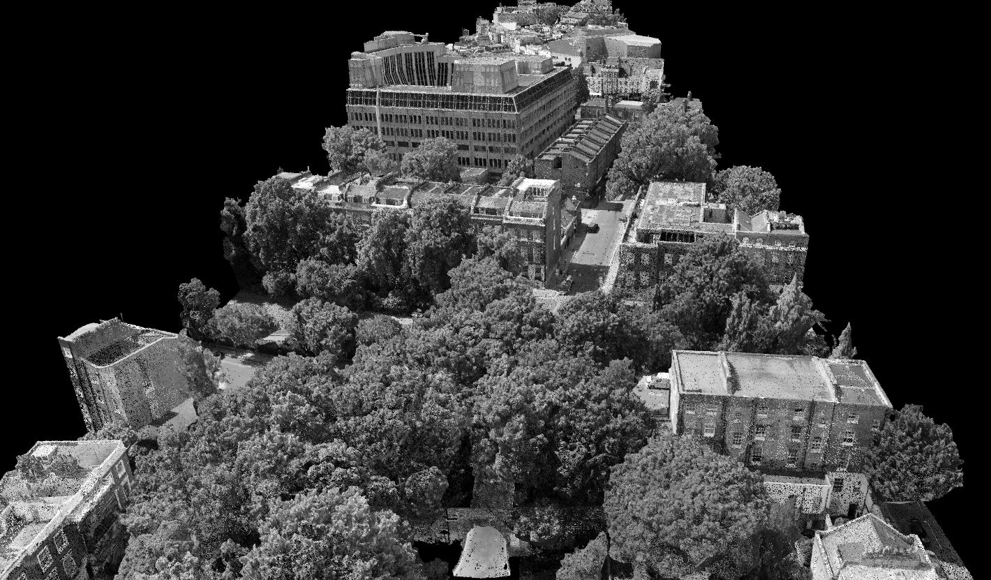
To combine the tunnel and underwater scans with surface features, a drone (DJI Mavic 3 Pro) was used to carry out a photogrammetry survey. This allowed us to model the tunnel both above and below ground, as well as under the waterline.
All survey data was geo-referenced to the OSGB OSTN15 National Grid.
The deliverables
We provided the client with a combined geo-referenced 3D laser scan point cloud of the historic canal tunnel, portal and surface directly above the tunnel in RECAP and LAS format for viewing in Navisworks and CivilCAD 3D.

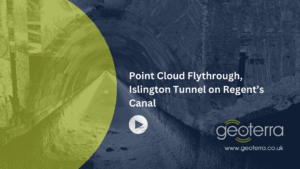
Watch this point cloud flythrough video: